
I've lived my whole life in Indiana and Oregon. When maps became available online I sought to use them to document all of my homes. I called it my "home page" as a joke since that usually refers to a home in cyberspace. site ![]()
The images were crazy jaggy and not particularly dense with information. They were also slow so I captured the gifs and served them from my own site.
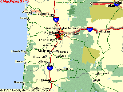
It helps to remember that screens were a lot smaller, sometimes only 640x480. These were big maps.
I also experimented with not-strictly-hierarchical organization using anchor tags. There was not enough information to make the complexity worth the trouble.
# Today
I'm about 10 hours into authoring the 30 maps and related documentation in this site. This is about equal parts map making, word crafting, fact checking and new code testing. This divides out to 5 minutes per map.
We can use the Grep plugin for some insight into this first intensive use of map markup features.
Grep for Maps on most pages.
Grep for Explicit Boundary derived from markers.
Grep for Lineup Import for composite maps.
Grep for Google Format suggesting url copy.
Grep for Internal Format suggesting shift-double-click.
Grep for Incomplete Pages from the template.
# Previously
Before this work I hand translated several other geocentric sites I had built in the past. These were done without the need or ability to plant markers on maps with clicks.
2001 Geocaches I had personally stashed.
Portland Confluences I have visited.
I bring them here to show that markers are able to click through to their original home on another site.